Client projectBrand website
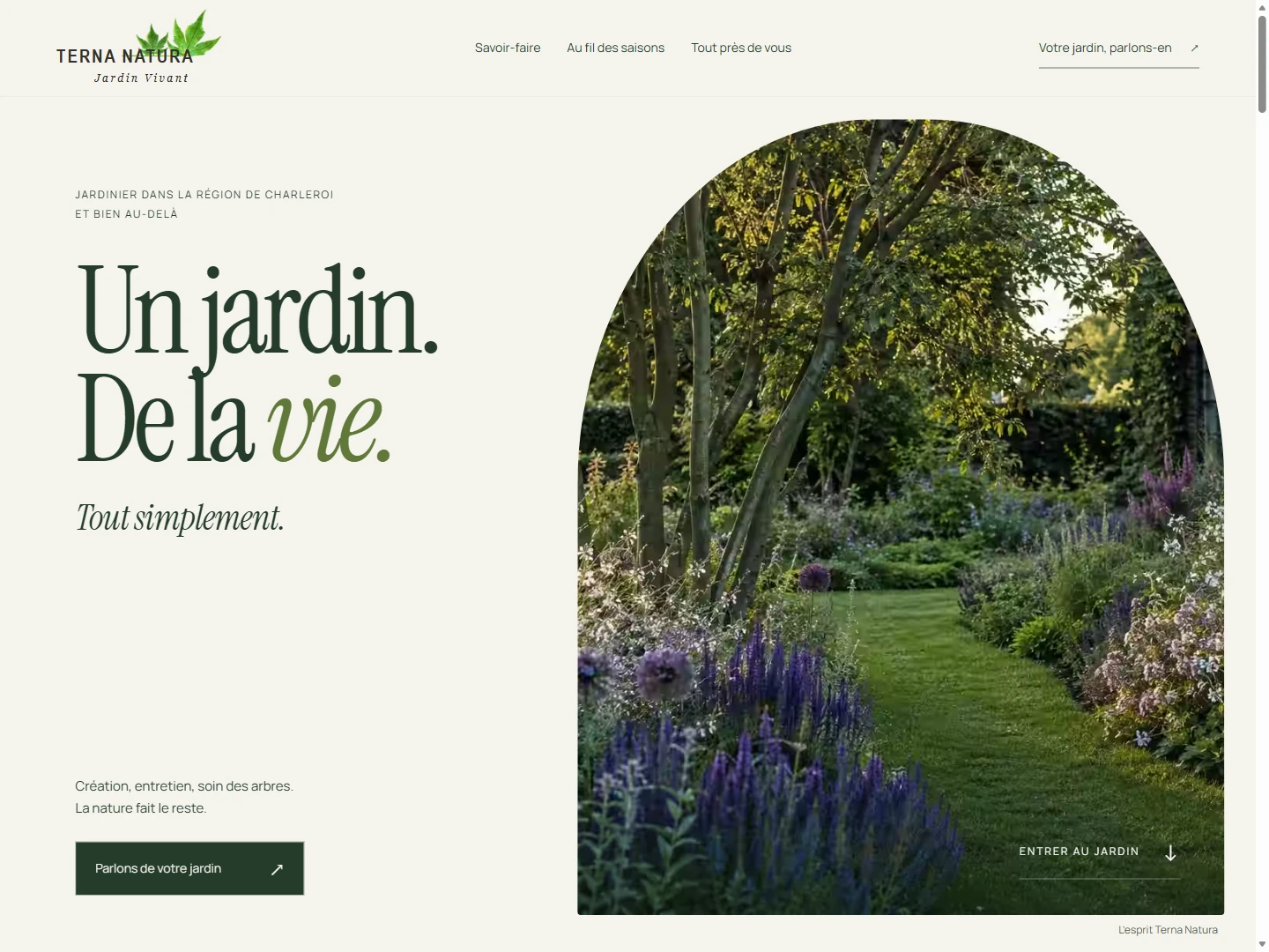
Terna Natura
A considered website for a landscaping business. Natural character, clear services, and a straightforward way to get in touch.

A whole country. A fresh perspective.
Visit the project (opens in a new tab)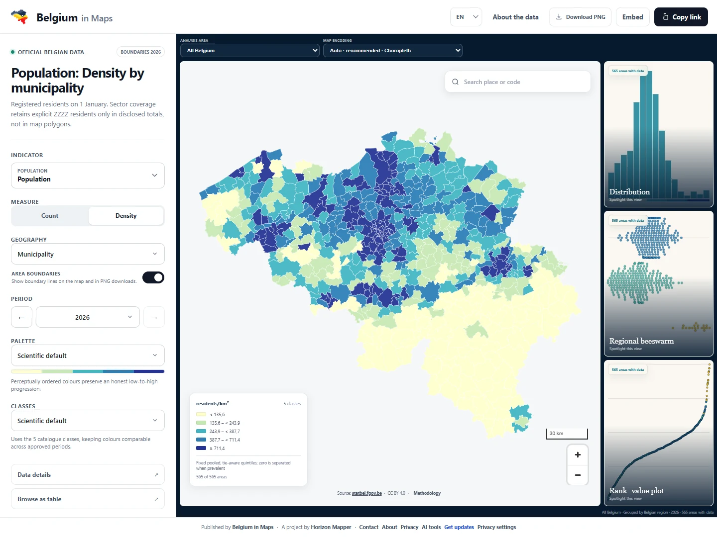
Public data can tell interesting stories, but tables alone make it difficult to see the geography. The project explores how a clear map can make that information more approachable.
A focused map experience with readable visual layers and accessible navigation. A continuing exercise in making detailed information useful without hiding its source or context.
An independent product by Florent Chif, created alongside the studio’s client work.
A considered website for a landscaping business. Natural character, clear services, and a straightforward way to get in touch.
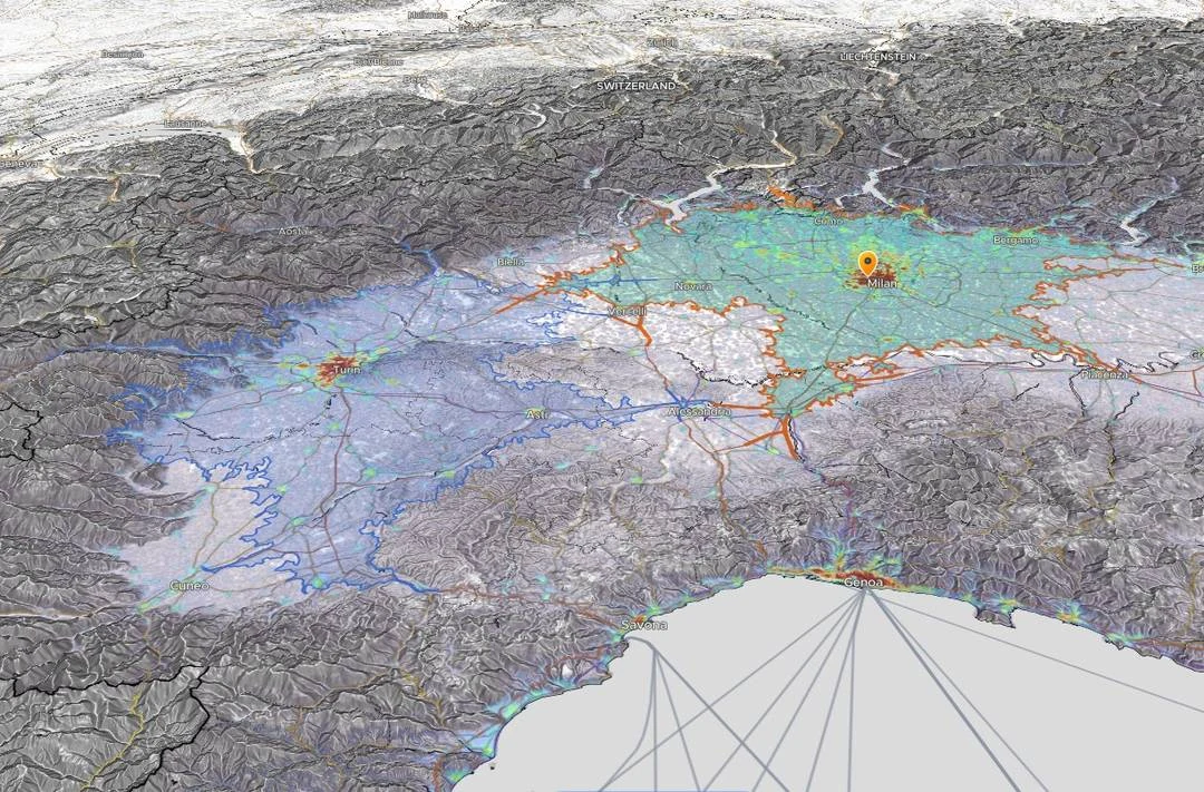
An independent product that turns population, accessibility, and place data into a more useful view of an area.
A recurring headache. An ambitious idea.
A team ready for its next chapter. Let’s hear it.